Dumoine River: Tote Road Trail combines paddling, hiking

“The Dumoine Valley has been my work and playground for over fifty years. Since 1969 I have tried to visit it at least once each season. The creation of this trail is a great contribution to allow another way travellers and guides can enjoy and interpret the Dumoine River's history and natural environment... Imagine yourself in the company of 19th century travellers using this tote road, pointing out the places they stayed and the work they did with things they left behind. Discover blazes, lost relics, old campsites, squared timbers, tools and building foundations as you walk with them through history.” Wally Schaber
Author Wally Schaber’s name, vision and irrepressible enthusiasm for the Dumoine River is well known. As of August 26, this year, the Tote Road re-opened, as a result of the dedicated members of the Friends of the Dumoine, along with CPAWS-OV (Canadian Parks and Wilderness Society – Ottawa Valley chapter), and the Zec Dumoine,
Originally constructed as a road to service the logging industry about 150 years ago, the 26-kilometre trail snakes through spectacular but decidedly rugged forests, outcrops of Canadian Shield, and alongside the whitewater rapids, chutes and glorious calmer stretches of the Dumoine River.
However, European history merely scratches the most recent history of this route. The trail was significant way before we arrived…
Ancestors of the Anishinaabe people
Some 5,000 to 8,000 years ago, ancestors of the Anishinaabe peoples lived on Morrison Island and traded with other peoples as they travelled up and down the Dumoine River.
1,000 to 2,000 years ago, the sentierdumoine.ca website informs us that, “Algonquin families claim or are assigned by communal law the Dumoine River as their territory. Together they identify each family’s hunting territory of 500-1000 square miles, the limits defined by significant natural features.”
Within the 1,000—500 year span, open-water season took families along the Dumoine to harvest fish, berries, eels and socialize and trade with other nomadic peoples.
So parts of today’s Tote Road Trail were portages used by First Nations to bypass the wildest rapids, and to trade and socialize with various communities.
European development
By 1850, Europeans were surveying the land around “Swisha” – Rapides des Joachims – to create settlements, and by 1871 the hamlet had grown into a bustling community. Farms grew food for horses and people involved in the shanties.
In the mid-1800s, loggers expanded the ancient portage route to create the Tote Road, using it as access into the interior, to cut the old-growth stands, and convey the cut timber downriver.
In fact, the river was so wild in sections that a by-pass was built. Pontiac residents who are familiar with the Coulonge Chutes will recall hearing about a 910 metre log slide constructed along the cliffs of the Coulonge’s chasm. Similarly, loggers constructed a log slide alongside the Dumoine for the same reason: to protect timbers so they wouldn’t be damaged by rocky rapids as they descended to the Ottawa, and from there to Ottawa, Montreal, Quebec City and beyond, to Britain.
Although these conveyances are long gone, Friends of Dumoine have exposed parts of the slide they discovered in the forest.
Forest rangers to nowadays
Schaber recalls the trails up the Dumoine being well-kept because forest rangers were employed, watching for fires from the towers there. They kept the trail clear for themselves and their fire-fighting equipment. As well, hunters and fishermen were hiking the Tote Road, heading to various cabins and some of the stopping places which had morphed to private clubs and inns.
sentierdumoine.ca notes that the rangers’ watch was replaced by float planes by the 1960s – and then, reflects Schaber, the Tote Road practically disappeared.
Glorious wilderness: Plan your trip
Such is the history, which today’s explorers can experience at the Grande Chute’s new welcome centre housing a collection of maps and artefacts before hiking the Tote Road Trail. Also, paddlers can start from here, parking their vehicles then portaging to the river.
This 26-km trail is not serviced, save for some cleared campsites and “thunderbox” toilets. A few outhouses exist. There’s no phone service.
You will be on your own. However, whether you paddle or hike, you will be exploring amazing wild country and absorbing fascinating history along the way.
Important: Before you go: study sentierdumoine.ca which has an interactive map of the trail and river, as well as useful outfitters and shuttles.
Katharine Fletcher is an author and visual artist. Contact her at fletcher.katharine@gmail.com
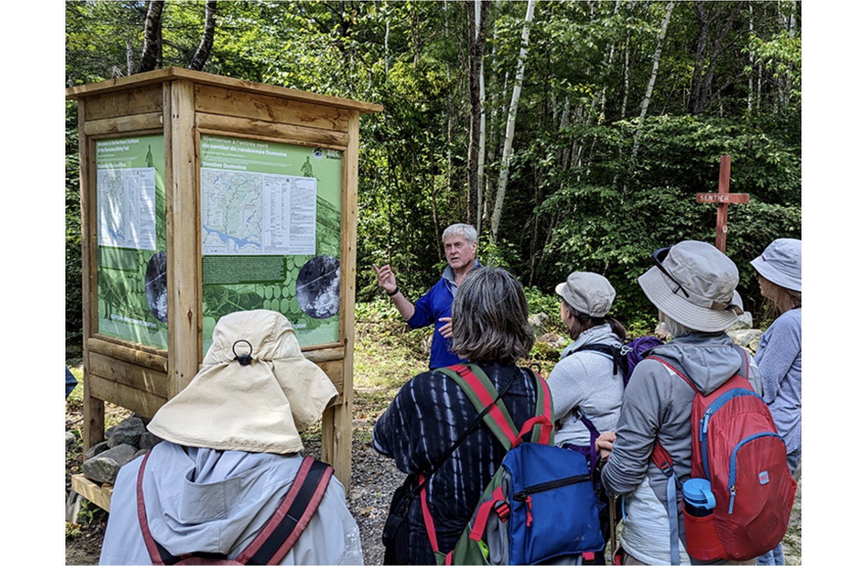
Photo caption: Wally Schaber of Friends of the Dumoine explains the Tote Road Trail to DRAW (Dumoine River Artists for Wilderness) artists.
Photo credit: Katharine Fletcher.


